
How Does GPS Work on a Tractor?
You use GPS on your tractor to get precise location data from satellites, helping you navigate fields with accuracy. It guides your movements along programmed paths, reducing overlaps and missed spots during planting, fertilizing, and harvesting. Correction signals boost accuracy, while integration with tractor systems lets you optimize input use and monitor progress in real time. This technology saves time, cuts costs, and improves yields. Keep exploring to uncover how GPS truly transforms fieldwork.
Key Takeaways
- GPS receivers on tractors capture signals from multiple satellites to calculate precise location using trilateration and timing data.
- The system integrates correction signals like RTK and WAAS to enhance accuracy by minimizing atmospheric and satellite errors.
- GPS guides tractor navigation by programming field boundaries and routes, ensuring straight lines and consistent spacing for tasks.
- Auto-steering and variable rate technology use GPS data to control planting, fertilizing, and spraying with precise input application.
- Real-time GPS tracking monitors field progress and optimizes routes, improving operational efficiency and reducing overlap or missed areas.
How GPS Technology Helps Tractors Navigate Fields
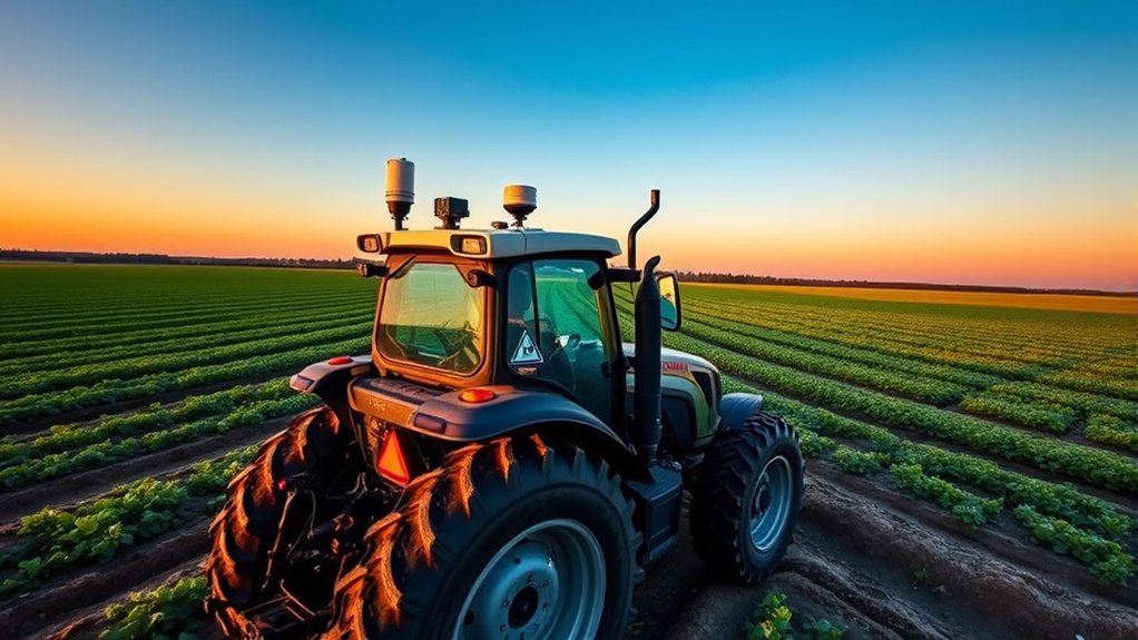
How exactly does GPS technology help tractors navigate fields? When you use GPS on your tractor, it provides precise location data that guides your movements across uneven terrain. You’ll follow exact paths, making planting, fertilizing, or harvesting more efficient by reducing overlap and missed spots.
This means you save time, fuel, and resources while maximizing crop yield. The system constantly updates your position, so you don’t have to rely on guesswork or visual markers.
You can also program specific field boundaries and routes into the GPS, allowing your tractor to maintain straight lines and consistent spacing. In short, GPS technology makes your fieldwork more accurate and less stressful, helping you get the job done faster and with fewer errors.
Satellite Signals Powering Tractor GPS
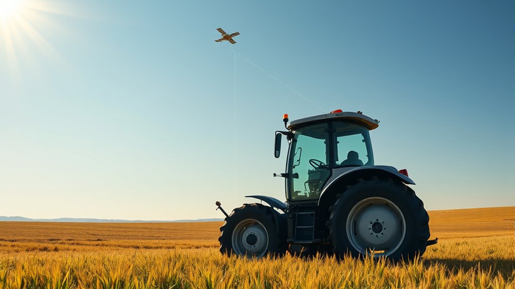
The accuracy you get from GPS on your tractor depends entirely on signals sent by satellites orbiting Earth. These satellites continuously transmit radio signals containing their exact position and the precise time the signal was sent.
Your tractor’s GPS receiver picks up these signals from at least four satellites to calculate its exact location through a process called trilateration. Because the satellites are constantly moving, their signals update frequently, allowing your tractor to adjust its position in real time.
The signals travel at the speed of light, so timing is critical—your GPS receiver measures how long the signals take to reach it to determine distance from each satellite. Without these satellite signals, your tractor’s GPS wouldn’t be able to provide the pinpoint accuracy you rely on in the field.
How Tractor GPS Receivers Work in the Field

When your tractor’s GPS receiver picks up signals from multiple satellites, it quickly calculates your exact position in the field.
It processes this data by comparing signal timing to determine your location with impressive accuracy.
Then, it integrates that information with onboard systems to guide your equipment precisely where it needs to go.
Satellite Signal Reception
Ever wondered how your tractor picks up signals from satellites miles above? Your GPS receiver uses a built-in antenna designed to capture weak radio signals sent by multiple GPS satellites orbiting Earth. These satellites continuously broadcast timing and location data.
As your tractor moves, the receiver locks onto the signals from at least four satellites to maintain accuracy. However, factors like tall trees, buildings, or heavy clouds can weaken or block these signals, so your GPS unit is built to filter out noise and maintain a stable connection.
The receiver constantly monitors signal strength, ensuring uninterrupted data flow. This reliable reception lets your tractor know where it’s in real time, setting the stage for precise fieldwork without guesswork or overlap.
Position Calculation Process
How exactly does your tractor determine its precise location on the field? Once your GPS receiver picks up signals from multiple satellites, it calculates its position by measuring the time it takes for each satellite’s signal to reach it. Your receiver uses this travel time to figure out the distance between itself and each satellite.
By comparing distances from at least four satellites, it pinpoints your tractor’s exact location through a process called trilateration. This method accounts for the three-dimensional position—latitude, longitude, and altitude.
Your tractor’s GPS continually updates these calculations, providing real-time location data as you work. This precise positioning helps you navigate your field efficiently, ensuring accuracy in planting, spraying, and harvesting without relying on visual landmarks.
Data Integration Systems
Why does your tractor’s GPS receiver need more than just satellite signals to work effectively in the field? Because it relies on data integration systems that combine GPS data with inputs from various sensors and software to give you accurate, real-time positioning and guidance.
These systems process information from multiple sources, ensuring your tractor operates smoothly and precisely.
Here’s what your tractor’s data integration system typically brings together:
- GPS signals for location data
- Inertial Measurement Units (IMUs) to track movement and orientation
- Field management software that maps boundaries, obstacles, and crop data
How Correction Signals Boost GPS Accuracy
You’ll notice that correction signals play a key role in improving your tractor’s GPS accuracy. Different types of signals, like RTK and WAAS, help reduce errors in positioning.
Understanding these signals shows how they boost the precision you rely on in the field.
Types Of Correction Signals
Although GPS provides basic location data, its accuracy can vary due to factors like atmospheric interference and satellite errors. That’s where correction signals come in—they refine the GPS data to give you precise positioning on your tractor.
You’ll typically encounter three main types of correction signals:
- WAAS (Wide Area Augmentation System): Uses ground reference stations to send correction data via satellites, improving accuracy across wide regions.
- RTK (Real-Time Kinematic): Offers centimeter-level precision by using a fixed base station and a rover on your tractor, ideal for detailed fieldwork.
- Satellite-Based Augmentation Systems (SBAS): Similar to WAAS, these systems provide corrections through geostationary satellites for enhanced accuracy.
Impact On Positioning Accuracy
When you rely on GPS without correction signals, your tractor’s position can be off by several meters, which can lead to missed rows or inefficient passes.
Correction signals work by adjusting the raw GPS data, reducing errors caused by atmospheric conditions, satellite clock drift, and signal multipath. This boosts your tractor’s positioning accuracy from several meters down to just a few centimeters.
With this level of precision, you can drive straight rows, minimize overlaps, and optimize field coverage. The improved accuracy also means you save on fuel, seeds, and fertilizer, enhancing overall efficiency.
In short, correction signals transform basic GPS into a powerful tool that helps you work smarter, not harder, by ensuring your tractor stays exactly where it needs to be.
How GPS Guides Planting and Seeding With Precision
Because GPS technology provides accurate location data, it allows tractors to plant and seed crops with remarkable precision. You can trust your tractor to follow exact paths, reducing overlaps and gaps in the field. This precision helps maximize crop yield and enhance seed use.
Here’s how GPS guides planting and seeding with precision:
- Auto-steering: Your tractor automatically stays on the planned path, so you don’t have to constantly steer.
- Variable rate seeding: It adjusts seed placement based on soil and field data, ensuring optimal plant density.
- Real-time mapping: You get instant feedback on where seeds are planted, helping you monitor progress and avoid errors.
Using GPS for Efficient Fertilizing and Spraying
You can use GPS to apply fertilizers and sprays with pinpoint accuracy, making sure every part of your field gets exactly what it needs. This technology helps you avoid overlapping applications, cutting down on waste and saving money.
Plus, real-time mapping lets you adjust on the fly for the most efficient coverage.
Precision Application Techniques
Although applying fertilizer and pesticides evenly across a field can be challenging, GPS technology lets you target exactly where these inputs are needed. By using precision application techniques, you can optimize crop health while reducing environmental impact and input costs.
GPS-guided systems control the rate and placement of materials, ensuring you apply the right amount in the right spots.
Here’s how you can benefit from precision application techniques:
- Variable Rate Technology (VRT): Adjusts application rates on the fly based on soil and crop needs.
- Section Control: Automatically turns sections of your sprayer or spreader on and off to avoid unnecessary overlap.
- Mapping and Data Recording: Tracks application locations and rates for better decision-making and compliance.
With GPS, you gain control and efficiency you couldn’t achieve manually.
Reducing Overlap And Waste
When you use GPS technology on your tractor, it considerably reduces overlap during fertilizing and spraying, saving both time and resources. GPS-guided systems track your exact position in the field, ensuring you don’t treat the same area twice. This precision prevents excess use of chemicals and fertilizers, which cuts costs and minimizes environmental impact.
You’ll also notice fewer gaps where crops might miss treatment, improving overall yield. By following GPS-assisted paths, you maintain consistent application rates and avoid wasting inputs on already covered spots. This efficient approach not only boosts productivity but also supports sustainable farming practices.
With GPS, you work smarter, not harder, optimizing every pass across your fields.
Real-Time Field Mapping
How exactly does real-time field mapping enhance fertilizing and spraying efficiency? It lets you apply inputs precisely where they’re needed, saving money and protecting the environment. With GPS-enabled technology, you can monitor your field’s conditions as you work, adjusting rates instantly based on soil variability or crop health.
Here’s how real-time field mapping helps you optimize fertilizing and spraying:
- Targeted Application: Apply chemicals only to areas that need them, avoiding overuse.
- Variable Rate Technology: Automatically adjusts input amounts based on real-time data.
- Immediate Feedback: Spot problem zones early and react quickly to changes in the field.
How GPS Helps Optimize Harvesting Routes and Timing
Because every minute counts during harvest, GPS technology helps you plan the most efficient routes across your fields. It guides you to avoid overlapping passes and missed spots, saving fuel and time.
Every minute matters during harvest—GPS guides efficient routes, preventing overlaps and missed areas to save time and fuel.
GPS data lets you analyze field conditions and crop maturity, so you can schedule harvesting when yields are ideal. This means you won’t waste effort harvesting too early or too late.
By tracking your progress in real time, GPS also helps you adjust routes on the fly, responding to obstacles or changing weather.
With clear, data-driven insights, you can maximize productivity while minimizing crop loss. In short, GPS puts you in control of your harvesting strategy, making every pass count toward a successful and timely harvest.
How Tractor Auto-Steering Uses GPS
Although driving a tractor requires skill, GPS-powered auto-steering takes much of the guesswork out of the process. When you activate auto-steering, the GPS system continuously pinpoints your tractor’s exact location and adjusts the steering to keep you on a precise path. This means you can maintain straight lines and consistent spacing without manual corrections.
Here’s what happens when you use GPS for auto-steering:
- The GPS receiver tracks your position to within centimeters.
- The system sends real-time steering commands to the tractor’s hydraulic or electronic controls.
- It automatically corrects deviations caused by terrain or obstacles.
This technology reduces operator fatigue and improves efficiency, letting you focus on other important tasks while your tractor stays on course.
Integrating GPS With Tractor Monitors and Software
Once your tractor stays on course with GPS auto-steering, you can harness even more power by integrating GPS data with tractor monitors and software. This integration lets you track real-time field conditions, seed placement, and fertilizer application directly on your monitor.
You’ll get precise maps showing where you’ve worked, helping avoid overlaps or missed spots. Plus, the software analyzes this data to optimize your operations, saving time and resources.
Many systems also let you record yield data and soil conditions, giving you valuable insights for future planting decisions. By syncing GPS with your tractor’s onboard systems, you gain full control and detailed feedback, making your work smarter and more efficient every step of the way.
GPS Challenges on Tractors and Solutions
When you rely on GPS technology for your tractor, you might encounter challenges like signal loss, accuracy issues, and interference from nearby obstacles. These problems can disrupt your work, but there are practical solutions to keep your tractor running smoothly.
To combat signal loss, you can use GPS systems with enhanced satellite reception or integrate additional correction services.
Accuracy issues often require upgrading to RTK (Real-Time Kinematic) GPS, which provides centimeter-level precision.
Interference from trees, buildings, or power lines can be minimized by adjusting antenna placement or using signal repeaters.
Here are three key solutions to common GPS challenges:
- Use RTK GPS for improved accuracy
- Position antennas to avoid obstacles
- Employ correction services to enhance signal reliability
With these steps, you can overcome GPS challenges and maintain efficient tractor operations.
How Farmers Map and Manage Fields With GPS
Because GPS provides precise location data, farmers can map their fields accurately and manage them more effectively. You use GPS-guided systems to create detailed field maps that show boundaries, soil types, and crop conditions. These maps help you identify specific zones requiring different treatments, like varying fertilizer or irrigation levels.
With GPS, you can track where you’ve planted, fertilized, or sprayed pesticides, ensuring consistent coverage and reducing waste. The technology also enables you to plan efficient routes, saving time and fuel by avoiding overlap.
Future Trends in GPS Technology for Tractors and Farming
Building on how GPS helps you map and manage fields, the technology is rapidly evolving to offer even more advanced capabilities. You’ll soon see tractors equipped with real-time kinematic (RTK) GPS for centimeter-level accuracy, making your planting and harvesting more precise than ever.
Integration with drones and IoT devices will give you an all-encompassing view of crop health and soil conditions. Plus, AI-powered analytics will help you make smarter decisions faster, boosting yield and efficiency.
Look for these future trends in GPS technology for farming:
- Autonomous tractors that navigate fields independently using GPS and sensors
- Enhanced data integration from multiple sources for better field insights
- Improved connectivity through 5G networks to support real-time data sharing
These innovations will transform how you farm.
Frequently Asked Questions
How Much Does a GPS System for Tractors Typically Cost?
You’ll typically pay between $2,000 and $10,000 for a tractor GPS system, depending on features and accuracy. Basic models are cheaper, while advanced systems with auto-steering and mapping cost more.
Can GPS Systems Be Used on Older Tractor Models?
Yes, you can use GPS systems on older tractors. In fact, about 60% of farmers retrofit older models with GPS to boost efficiency. You’ll just need compatible hardware and sometimes additional adapters for integration.
What Maintenance Is Required for Tractor GPS Equipment?
You’ll need to regularly update the GPS software, clean the antenna and display screen, check all connections for wear, and calibrate the system to guarantee accuracy. Don’t forget to protect it from extreme weather and impacts.
Are GPS Systems on Tractors Affected by Weather Conditions?
Yes, GPS systems on tractors can be affected by heavy rain, dense clouds, or storms, which may weaken satellite signals. However, under normal weather, your GPS should work reliably without significant interruptions.
Can Multiple Tractors Share the Same GPS Correction Signal?
Yes, you can share the same GPS correction signal among multiple tractors. This helps them maintain accurate positioning simultaneously, improving coordination and efficiency across your entire fleet during fieldwork.
Conclusion
You might think driving a tractor is all about muscle and dirt, but GPS proves it’s actually about satellites and signals. Ironically, the old tractor’s new brain doesn’t just steer—it outsmarts you with pinpoint precision, mapping fields and guiding every seed. So, while you’re still getting your hands dirty, GPS quietly takes the wheel, making farming smarter and easier—because who knew farming could be this high-tech and hassle-free?